• Rreth Nesh
  • Kontakt
  • Albanian
  • English
Tuesday, May 12, 2026
Memorie.al
No Result
View All Result
  • Home
  • Dossier
  • Interview
  • Personage
  • Documentary
  • Photo Gallery
  • Art & Culture
  • Sport
  • Historical calendar
  • Others
  • Home
  • Dossier
  • Interview
  • Personage
  • Documentary
  • Photo Gallery
  • Art & Culture
  • Sport
  • Historical calendar
  • Others
No Result
View All Result
Memorie.al
No Result
View All Result
Home Personage

“The seals were removed from the parchment, and before the eyes of the historians, a strange document appeared – a complete and accurate map of Antarctica, created by…” / The unknown story of the Albanian admiral, Pirro Rajca.

“Pergamenit iu hoqën vulat dhe para syve të historianëve, u shfaq një dokument i çuditshëm, një hartë e plotë dhe e saktë e Antarktidës, e realizuar nga…”/ Historia e panjohur e admiralit shqiptar, Pirro Rajca

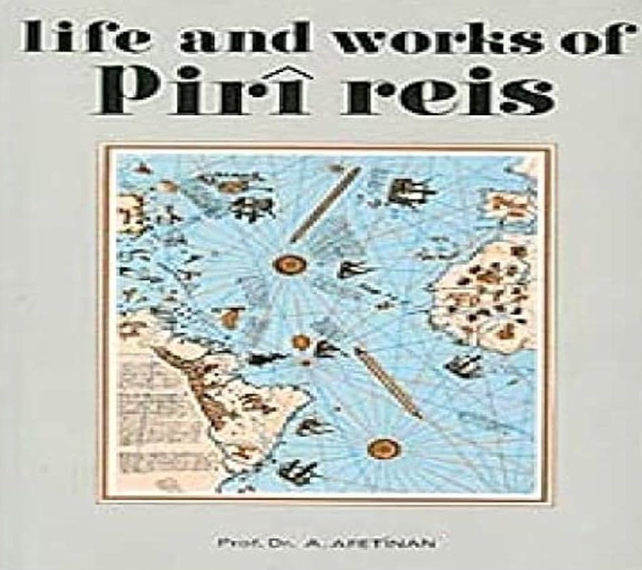
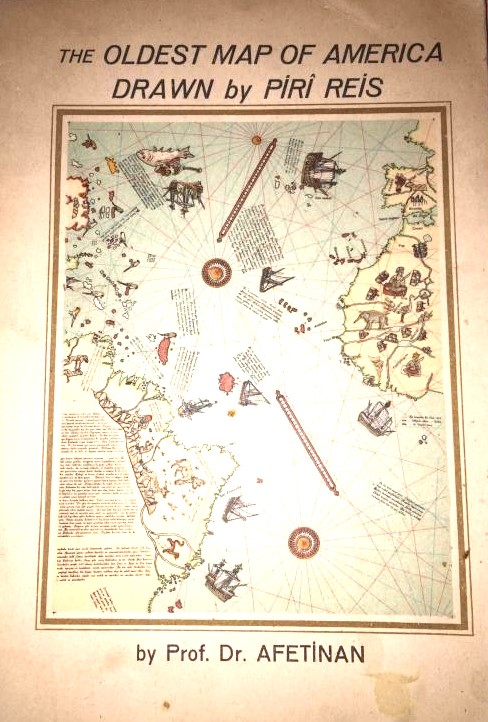
Memorie.al / In 1929, in the archives of the “Topkapi” Palace of Sultans in Istanbul, an ancient parchment was found, rolled up and completely covered in dust. The seals were removed from the parchment, and before the eyes of the historians, a strange document appeared: a complete and accurate map of Antarctica. The Turkish historian, Et’hem Halili, carefully studied the map and deciphered the seal and signature of the author of this document: the Admiral-in-Chief and Commander of the Ottoman Empire’s War Fleet, Pirro Rajs (Piri Reis), dated 1513 or 919 according to the Muslim calendar. A careful study of the map revealed that the admiral had utilized over 20 earlier source documents.

In one of the inscriptions, he confirmed that he had copied the map and that he knew very well that the Earth is round. The North-South axis of the Earth was shifted by 5 degrees from the time of the initial data, and the North and South Poles were in different positions from their current ones.

Science was only able to prove these details in the second half of the 20th century, but how could the Albanian Pirro Rajs formulate them in the 16th century – at a time when Galileo, Giordano Bruno, and Copernicus had not yet been born in Europe, and the Church did not even allow the idea that the Earth could be round?

Pirro Rajs (Rajca)

Gjithashtu mund të lexoni

“The peak reached the place of the Serbian flag, we rose next to the French flag, the flag of Skanderbeg, which the Stigmatine nuns had made, by order of…”/ Unknown Diary of Karl Gurakuqi

“He was in agony, he was just squeezing my hand, which I tried to calm him down with, but once he fell into a state of calm and gave up the ghost. I made a sign for him and then two policemen came…”/ How did they strangle Injac Baqli in the Sigurimi cells?!

Pirro Rajs was an Albanian feudal lord who, at the end of the 15th century, entered the service of the Sultan as a cartographic researcher, where he excelled and was nicknamed “the Arnaut” (the Albanian). Due to his brilliant results in navigation, he quickly attained the rank of Admiral and was later appointed Commander-in-Chief of the Imperial War Fleet.

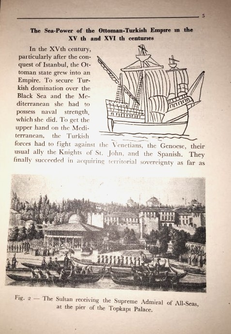
He led the Turkish fleet in many victorious battles in the Mediterranean, designed ships, and prepared atlases that were used for 200 years by Venetian and Norwegian sailors. In the 16th century, these were compiled into the major work “Kitab-ı Bahriye” (The Book of Navigation), which was used throughout Europe.

The discovery of the Pirro Rajs map plunged science into a difficult debate. The Albanian admiral’s map is much more accurate than 20th-century maps of Antarctica. On the map, boundaries, continents, mountains, passes, bays, rivers, and lagoons – which today are filled with ice – are precisely marked; the coasts of Southern Antarctica are described in detail.

Only through intensive studies in 1956 was it proven that in Antarctica, beneath the colossal layer of ice, rivers once flowed and green valleys existed. The full boundary of the continent was accurately determined after numerous studies (including satellite data) in 1998. Powerful American, French, German, and Belgian expeditions worked on this, equipped with geophysical instruments and the latest computer systems known to science.

The Conclusion:

The map of the Albanian admiral, signed in 1513, was absolutely accurate. How is this possible? British scientists called it “A dynamic Oriental rebus,” the French called it a “Mystification,” etc., but the fact remained unshakable. Through a minute study of the parchment’s origin and the writings on the map, its authenticity was proven. It was concluded that the map was originally large and that this is only a portion of it; the rest has been lost.

The geographic historian Charles Hapgood gave a copy of the map to US aerial reconnaissance specialists without telling them what it was. These experts worked responsibly and reached this conclusion: the map was prepared by specialists a long time ago using the methods of spherical geometry.

The map was prepared before the continent of Antarctica was covered by ice. The people who prepared this map (and certainly other maps of the globe that have been lost) must have had profound knowledge of geometry, mathematics, astronomy, and topography, and possessed the necessary tools to apply these sciences in practice. This must have happened 12,000 years ago. According to modern calculations, 15,000–20,000 years ago, the Earth’s poles were in a different position and Antarctica was a green continent, while other parts of the globe were covered by polar ice.

Human civilization was at a high level; it was known that the earth was round; they knew how to measure its diameter and perform calculations and equidistant projections. On the Pirro Rajs map, the South-North direction is drawn passing through Aswan – the Nile Delta and the Giza plateau – where the Egyptians later built the famous pyramids with astronomical precision.

The Albanian Pirro Rajs left his explanations on the poles of the map, noting that he had copied ancient documents from 1,500–2,500 years ago, inherited from the Library of Alexandria. These documents had been copied from even older documents, dating back as far as 12,000 years. With the destruction of the Library of Alexandria, many scientists managed to hide and preserve important maps and documents, leaving them as a legacy to their descendants.

Much later, a map of Northern Europe was found, dating back at least 9,000 years. Astronomical and climatic research, as well as legends circulating among the peoples of the Nile lagoons, the Judean plains, the Andes Mountains, etc., testify that in the 12th–11th millennium BCE, a global catastrophe occurred – the cataclysm known as Noah’s Flood. Due to significant climate changes, ice masses melted and the level of the oceans and seas rose so much that it flooded settlements in the lowlands.

Keeping this natural disaster in mind, the early ancestors of civilization took measures to preserve, among other things, scientific documents, which were copied and transmitted from generation to generation. Following the discovery of the Pirro Rajs map, research led to the discovery of two other similar maps. The second map, compiled by Oronce Finé, an Italo-French geographer and mathematician, dates to 1531 and shows Antarctica free of ice. According to analysis, this map is based on data even older than that of Pirro Rajs.

The third map, prepared by Academician Philippe Buache in the 18th century, is as accurate as the map prepared in 1956 by modern geophysicists and confirmed by satellite studies. These prove that the captains of the super-ancient civilization (12,000–15,000 years old) carried out discoveries as great and glorious as those of their modern-day descendants. They were equally skilled in understanding the world and utilizing the sciences, leaving a legacy of knowledge in navigation, astronomy, mathematics, construction, and cartography to succeeding civilizations (Egyptians, Sumerians, etc.). / Memorie.al

ShareTweetPinSendShareSend
Previous Post

“In Klos, five people from one family died; in Patos, there were 9 dead and 5 injured; in Prekal, 28 died and 36 were injured; in Fushë-Bulqizë…” / Secret Sigurimi reports on the tragic accidents of the 1970s and '80s.

Next Post

"After my internment in Fushë-Arrëz in '82, Vladimir Shpuza, Ramiz Ali's nephew, was catapulted into my place, who, together with his wife, for almost ten years..."/ Testimony of the former chief engineer of RTSH

Artikuj të ngjashëm

“The peak reached the place of the Serbian flag, we rose next to the French flag, the flag of Skanderbeg, which the Stigmatine nuns had made, by order of…”/ Unknown Diary of Karl Gurakuqi
Personage

“The peak reached the place of the Serbian flag, we rose next to the French flag, the flag of Skanderbeg, which the Stigmatine nuns had made, by order of…”/ Unknown Diary of Karl Gurakuqi

May 11, 2026
“When prosecutor Asaf Kondi came to my cell, I asked him; As a seasoned lawyer that you must be, I wanted to know from you whether anyone’s opinion is punishable, he told me…”/ Testimony of former political prisoner, Uran Kalakulla
Personage

“He was in agony, he was just squeezing my hand, which I tried to calm him down with, but once he fell into a state of calm and gave up the ghost. I made a sign for him and then two policemen came…”/ How did they strangle Injac Baqli in the Sigurimi cells?!

May 8, 2026
“After their brother, Abdulla, was shot, their sister, Hajria, Qazim Mulleti’s wife, with their son, Reshti, were interned in Myzeqe, while Hysen, 10 years in prison…”/ The story of the famous footballer of Sport-Klub “Tirana”
Personage

“After their brother, Abdulla, was shot, their sister, Hajria, Qazim Mulleti’s wife, with their son, Reshti, were interned in Myzeqe, while Hysen, 10 years in prison…”/ The story of the famous footballer of Sport-Klub “Tirana”

May 6, 2026
“In the Fush-Krujë camp, there were also ordinary prisoners, like the writer Selman V., former head of the Pioneer organization, who, with Janaq T., in 1946, organized my beating in the gymnasium…”/ Memories of Uran Kalakulla
Personage

“In Burrel I also found my father, we became father and son in prison, he was dying because he was old, he could neither cook nor serve himself, so much so that…” / The sad testimony of Sezari Malila from Gjirokastra

May 4, 2026
The denunciations of B.p. “Shëmbi”, Burrel prison, ’83: “Gjet Kadeli, Daut Gumeni, Kapllan Resuli, Bebi Konomi, Luan Burimi, Skënder Shatku, etc., speak against the party leader, saying…”
Personage

“Brave and determined, Adem Allçi, rebelled against the commanding officers, climbed onto the terrace, fought and bled with the police, but when Captain Ali Kurti arrived…”/ The story of the horror of Burrel, which Arshi Pipa filmed in the USA

May 1, 2026
“Here is where and what we will do for Enver Hoxha in France and Belgium” / The secret letter of Minister Malile in ’87, for the embassy in Paris, is revealed
Personage

“Albanians were saved by Austria-Hungary and Italy, whose loss they saw as a threat to their future, because…”/ Reflections of the politician and former prime minister of the occupation period

May 1, 2026
Next Post
“After my internment in Fushë-Arrëz in ’82, Vladimir Shpuza, Ramiz Ali’s nephew, was catapulted into my place, who, together with his wife, for almost ten years…”/ Testimony of the former chief engineer of RTSH

"After my internment in Fushë-Arrëz in '82, Vladimir Shpuza, Ramiz Ali's nephew, was catapulted into my place, who, together with his wife, for almost ten years..."/ Testimony of the former chief engineer of RTSH

“Historia është versioni i ngjarjeve të kaluara për të cilat njerëzit kanë vendosur të bien dakord”
Napoleon Bonaparti

Publikimi ose shpërndarja e përmbajtjes së artikujve nga burime të tjera është e ndaluar reptësisht pa pëlqimin paraprak me shkrim nga Portali MEMORIE. Për të marrë dhe publikuar materialet e Portalit MEMORIE, dërgoni kërkesën tuaj tek [email protected]
NIPT: L92013011M

Na ndiqni

  • Rreth Nesh
  • Privacy

© Memorie.al 2024 • Ndalohet riprodhimi i paautorizuar i përmbajtjes së kësaj faqeje.

No Result
View All Result
  • Albanian
  • English
  • Home
  • Dossier
  • Interview
  • Personage
  • Documentary
  • Photo Gallery
  • Art & Culture
  • Sport
  • Historical calendar
  • Others