


By Serafim Dilo
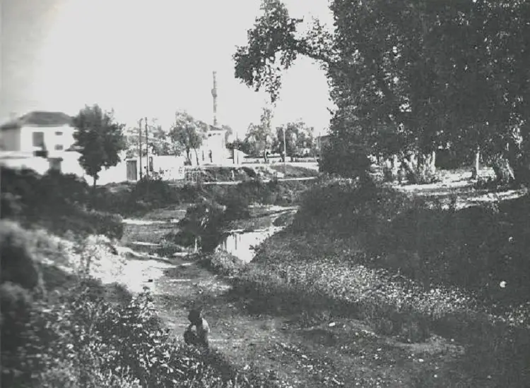
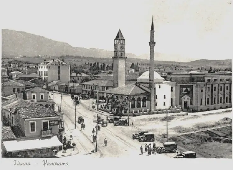
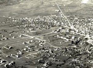
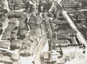
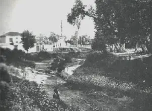
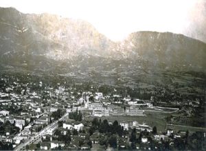
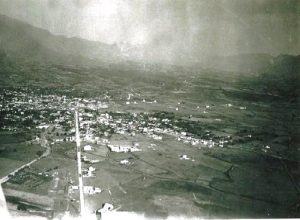
Memorie.al / I took inspiration from a photograph that I have not found anywhere, but also from several other original photographs, some of which have been published, to open this topic. In this enlarged part of these first photographs that we are publishing in this article, which must be from 1930, because in the background it seems that the construction of the ministry buildings has begun, the street called “Elbasan Street” is visible. Another element that stands out in these photos is that the construction of the bridge near the “Dajtit” Hotel has not begun, where the Lana River is visible in its entire extent. To orient myself a little more clearly, I am posting another photo that was taken more or less from the same angle, where it seems that the construction of the bridge has begun and with it, the beginning of the city’s main Boulevard, known for several decades as “Bulevardi Dëshmorët e Kombit”.
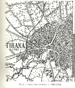
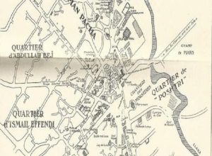
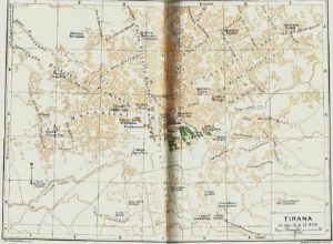
To orient myself a little more clearly, I am attaching some parts of a time map made by Leon Rey.
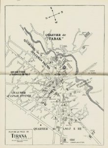
However, despite all the clutter of posts, Leon Rey’s map must be zoomed in to see all the characteristics of the time that Tirana had at that time, when the city was beginning to modernize, thanks to the commitment of King Zog and Italian architects.
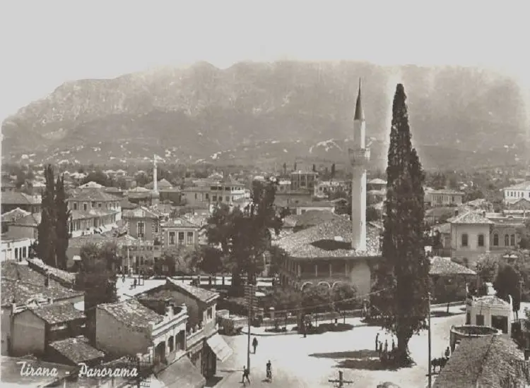
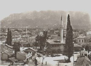
The former center of Tirana had this view.
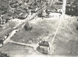
In these three parts taken from two photos, more or less “twin” originals from 1928, the area where the ministries and the newly built (old) Albanian parliament will later be built are visible.
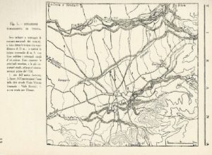
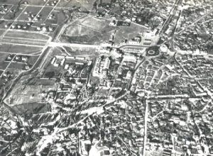
Two or three other maps published by Bruno Castiglioni, which help us to have more or less an idea of Tirana and its transformation. The first is an Austrian map.
The second is a topographic relief map, which also serves as a suggestion for the first photograph that opened this topic.
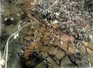
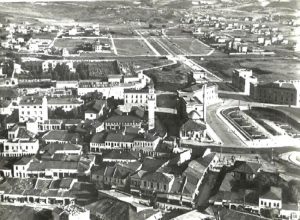
Finally, Tirana in the 1940s.
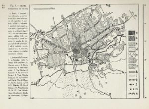
All three of these maps, along with the two following photos, were taken by Bruno Castiglioni. (Tirana. Notes on the capital of Albania at the dawn of the new regime 1941)
Here is the Tabakeve Mosque and the photo shows it as if it were the Lana river (but it could also be the “Përroi i Pal Poçit”).
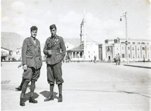
We are continuing with other photos.
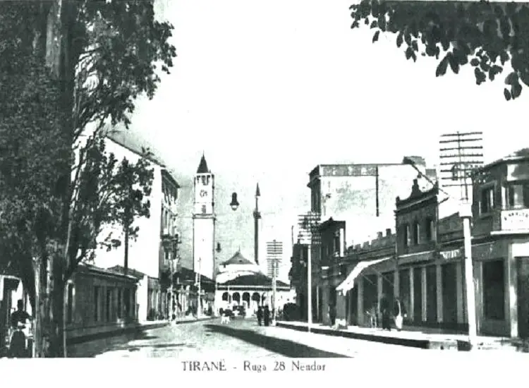
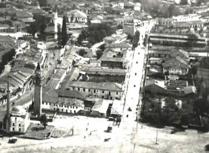
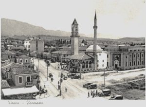
Two photos of Tirana’s main streets
The first photo is found published in magazines and newspapers of the time, while the second, perhaps due to the distance in time, I have not come across in other publications.
The first two photos are parts of postcards from the time, the other two photos are parts of original photographs.
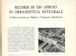
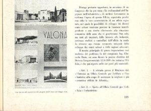
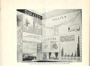
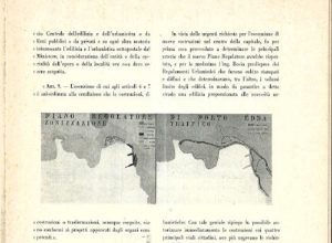
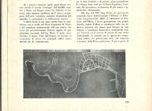
An interesting article from 1954, on the “Urban Planning Office” of Tirana and its plans, written by the participant in these projects and memories, Giuseppe Paladini.

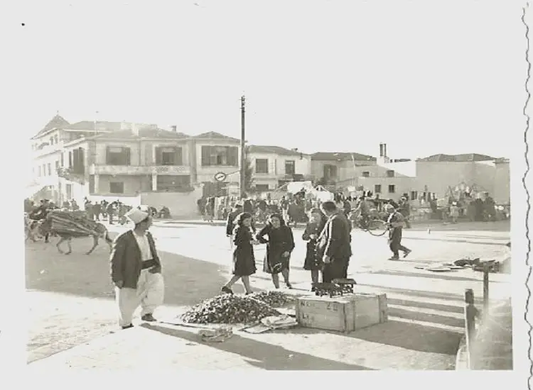
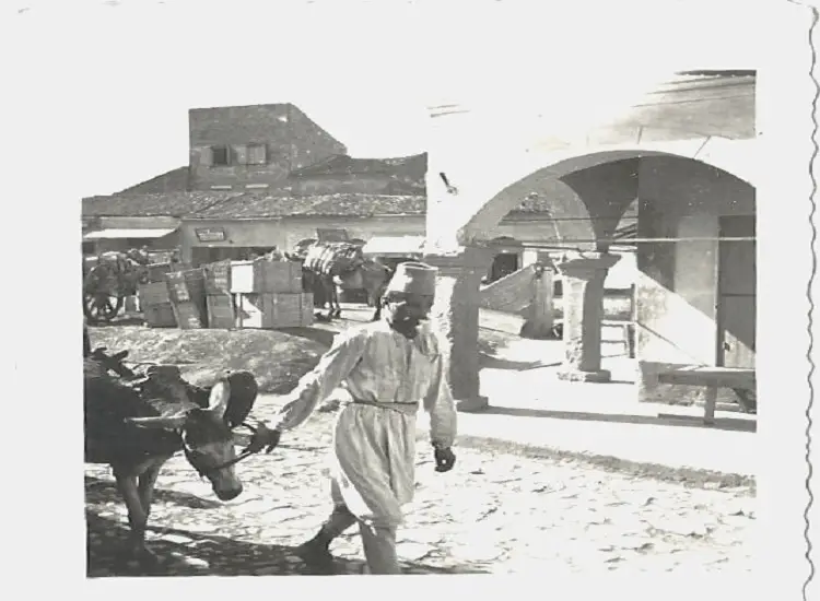
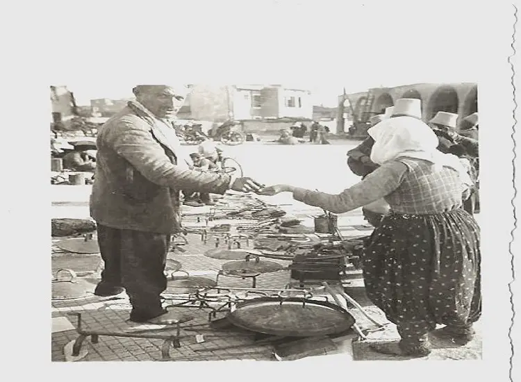
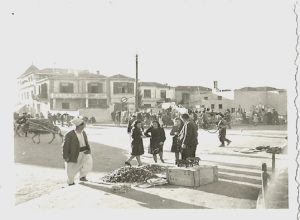
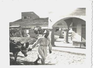
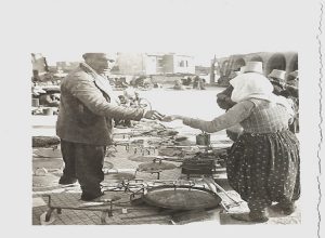
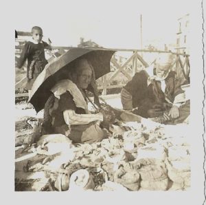
Tirana and its bazaar in some photographs from the time…!
Three postcards and a photograph / Memorie.al
